How Arkansas River Flows Change After August 15
August 13, 2026
August 13, 2026
Stand on Fisherman's Bridge in the first week of August and you'll count rafts by the minute. Guides call out timing to each other across the water. The current pushes hard enough that a paddle stroke barely registers before the boat's already ten feet downstream. Come back to that same spot after the middle of the month and the river looks like it aged a season overnight. Fewer boats. Slower water. A guy in waders standing calf-deep in a spot that was solid whitewater a week earlier.
Most people who live here chalk this up to the season simply winding down, as if the river just runs out of steam the way August afternoons run out of daylight. That's not what's happening. The Arkansas doesn't slow down on its own in mid-August. Someone upstream turns a valve, on a schedule that's been negotiated for decades, and the river you know in July is functionally a different river by Labor Day.
Browns Canyon and the Numbers stay high and fast through peak summer because of water that doesn't originate there. Twin Lakes Reservoir and Turquoise Lake release supplemental flow into the Arkansas specifically to sustain commercial rafting, and those releases typically hold flows above 650 cubic feet per second through August 15, which is enough water to keep Browns Canyon splashy and forgiving for families in inflatable boats. After that date, the releases taper toward a recreational base flow closer to 350 CFS, and the character of the run changes with it: more technical, rockier, lower.
The reservoirs aren't releasing water out of generosity. The Bureau of Reclamation manages Twin Lakes specifically for scheduled recreational releases on the Arkansas, and the timing of that schedule is built around a rafting season that traditionally runs through Labor Day weekend. Once the higher-flow window closes, the river reverts to whatever the natural late-summer flow happens to be that year, adjusted by whatever smaller releases remain in play.
A river running above 650 cubic feet per second in July can be under 350 by the first week of September, and the difference isn't rainfall. It's a decision made months in advance by people managing water rights, not weather.
This isn't a one-off arrangement between rafting outfitters and a reservoir manager. It's the output of the Voluntary Flow Management Program, a cooperative effort among Colorado Parks and Wildlife, the Southeastern Colorado Water Conservancy District, and Colorado Trout Unlimited that has been running for roughly a quarter century. The program exists because the Arkansas used to be a poor fishery, damaged for decades by mining runoff near Leadville, until a federal Superfund cleanup in the early 1980s started reversing the damage. Once the water quality recovered, the same agencies that had spent years cleaning up the river had to figure out how to share it: enough flow in summer to support the rafting economy that towns like Buena Vista and Salida depend on, and stable, cooler flow in fall and winter so brown trout can spawn and young fish can survive their first winter.
That trade-off is still active. On August 6, 2026, the Southeastern Colorado Water Conservancy District approved dedicating up to 2,500 acre-feet of Fryingpan-Arkansas Project water, about 814.6 million gallons, to the Upper Arkansas River, according to reporting from The Mountain Mail. That's the same district that co-manages the flow program locals are feeling on the water right now. The mechanism behind the "river feels different" sensation isn't abstract policy from another era. It's an agency making a water decision this month.
| Typical flow, before Aug. 15 | Typical flow, after Aug. 15 | |
|---|---|---|
| Browns Canyon flow | 650+ CFS | Near 350 CFS |
| River character | Big, forgiving waves | Technical, rockier lines |
| Boat traffic | Commercial trips launching most of the day | Noticeably fewer trips, more space between boats |
| Wading access | Narrow banks, fast current | Wider gravel bars, easier crossings |
| Best fishing window | Crowded banks, midday hatches | Quiet mornings and last light |
2026 hasn't followed the typical calendar. A regional fishing report in late June already described conditions on the Ark as behaving like late summer, months ahead of schedule, because of a warm, dry year across the state. By early August that pattern held. A fishing report dated August 9, 2026 put the flow at the Nathrop gauge at 196 CFS, well under the typical post-cutoff baseline of 350 CFS, describing low, clear conditions that reward anglers working banks and seams early in the day before afternoon heat sets in.
That's a meaningful gap. In an average year, the river doesn't reach that kind of low, technical water until after the mid-August taper. This year it got there almost a week before the scheduled cutoff even arrived. Even the smaller adjustments show the same hand at work: ArkAnglers reported in late July that Twin Lakes had released an additional 30 CFS down Lake Creek specifically to nudge the Wellsville gauge up toward 250 CFS, a small cushion meant to help float anglers and guides get through a drought year. The people managing this river are adjusting it in real time, in increments as small as 30 CFS, because the margin this year is thinner than usual.
Browns Canyon National Monument is the clearest place to watch this play out. The stretch runs roughly 13 miles from Fisherman's Bridge down to Stone Bridge, with Hecla Junction as a lower take-out point once flows drop enough that the lower section gets bony. In July, that whole run is full of rafts, guides calling lines to each other, families in life jackets. By late August, the same water opens up to waders who couldn't safely cross it a month earlier.
If you want current numbers before heading down, a handful of local shops track this closely. ArkAnglers, the longest-running fly shop in the valley, keeps locations in both Salida and Buena Vista and posts a detailed fishing report most weeks. Up River Fly Fishing runs out of a storefront at the corner of Main and Highway 50 in downtown Buena Vista. Salida Anglers, open since 2019, sits just off Highway 50 in Salida. If you've left your gear at home, The Next Eddy rents rods and waders out of a downtown location and will get you set up on short notice.
The upper Arkansas earned its Gold Medal Water designation from Colorado Parks and Wildlife in 2014, a status reserved for water that consistently supports the highest densities of large trout. That designation covers roughly 102 miles of river, from near Leadville down to Parkdale above the Royal Gorge. Maintaining that status depends on exactly the kind of stable, cooler fall flow the Voluntary Flow Management Program is designed to protect. The two weeks when the boats thin out and the water drops aren't a sign the river is done for the season. They're the mechanism doing the job it was built for twenty-five years ago: handing the water back to the fish before winter.
Next time you notice the river looks different walking across the bridge, you'll know it's not the season slowing down on its own. It's a negotiated decision, made by people who've spent decades balancing what this valley's economy needs against what its river needs to keep earning the reputation that draws people here in the first place.
Understanding a place at this level, down to the reservoir releases that decide what a Tuesday afternoon on the water looks like, is the same instinct that shapes how we work with clients looking to buy or sell property in Buena Vista and across Chaffee County. If you're the kind of resident who notices these details and wants that same attention applied to a real estate decision, Work With Julie and the Kersting Team.

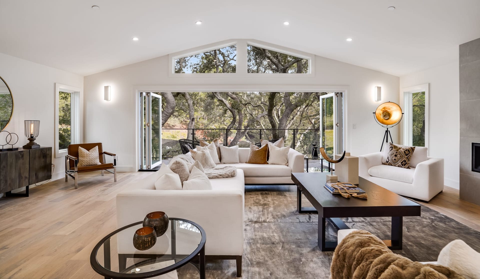
Ready to take the plunge into a mountain property? Maybe a house right in town is up your alley? Contact Julie today, she is passionate about making sure you find just the home of your dreams.
JULIE KERSTING
306 E Main St, PO Box 1105 Buena Vista CO 81211