Views, River Access, Or In-Town Convenience? Weighing Buena Vista Home
April 23, 2026
April 23, 2026
If you are searching for a home in Buena Vista, one question usually rises to the top fast: do you want river access, mountain views, or easy in-town convenience most? It sounds simple, but in 81211 those features often show up in different parts of town rather than all in one place. The good news is that once you understand Buena Vista’s micro-areas, you can focus your search with more confidence and less guesswork. Let’s dive in.
One of the biggest mistakes buyers make is treating Buena Vista like one single, interchangeable in-town market. The town’s own planning and zoning materials separate the community into distinct districts, overlays, and planned developments, which means two homes with the same Buena Vista address can sit in very different land-use settings. You can review those distinctions in the town’s 2025 comprehensive plan and codes and fees library.
That matters because your day-to-day experience can change a lot from one area to the next. A home near the river corridor may offer quick access to trails and recreation, while a property closer to East Main may put you near civic services, downtown activity, and a more compact street grid. If you want to choose well, you need to compare the parcel, the access, and the surrounding context, not just the mailing address.
In most Buena Vista searches, you are not choosing between good and bad options. You are choosing which lifestyle feature matters most to you. For many buyers, the clearest non-negotiables are:
The town’s map tools make this easier to sort out. Buena Vista provides official area maps and info for zoning, FEMA floodplain and floodway, River Park, trails, bike lanes, and the Midland trail system, which is why parcel-by-parcel review is so important.
The Arkansas River is one of Buena Vista’s defining amenities, and it shapes how many buyers picture life here. According to Colorado Parks and Wildlife, the Leadville-Buena Vista-Salida stretch includes eight river access sites, and the Buena Vista Whitewater Park offers a boat ramp and slide, fishing access, trails, picnic tables, restrooms, and scenic overlooks.
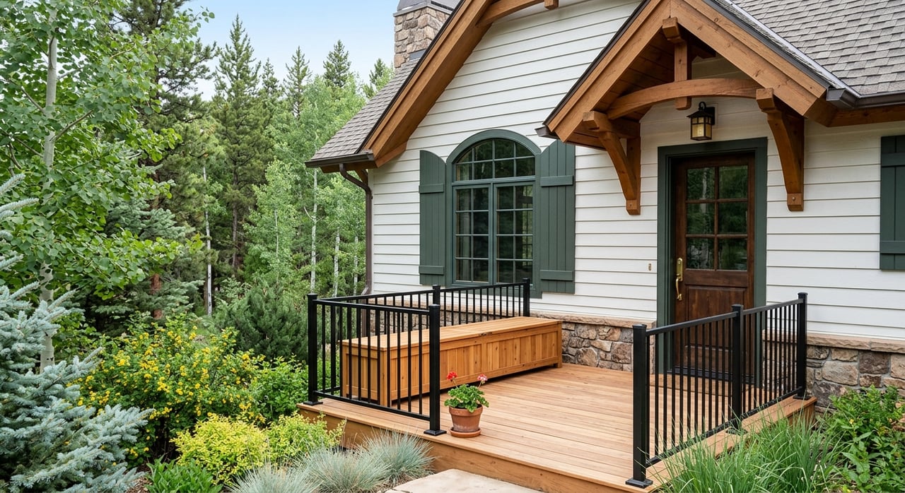
In town, the connection between river access and daily life is especially visible around River Park and the local park system. River Park sits at the east end of Main Street next to the Arkansas River, and the Whitewater Park extends into South Main. That makes some parts of town feel especially tied to paddling, walking, fishing, and trail use.
This is an important distinction. Being near the river does not automatically mean a parcel includes direct river frontage, unrestricted use, or the same building considerations as a non-river property. The right way to evaluate a river-adjacent home is to verify the parcel’s zoning, floodplain or floodway status, and actual access context using the town’s official map layers.
If you want a home that supports an active outdoor routine, the trail network is part of the story. Buena Vista Recreation’s trail system guide highlights routes like Arkansas River Trail, Whitewater Trail, Rock 'n Roll Trail, River Park Trail, and Zebulon-Pike Trail, many of which connect river-oriented recreation with in-town living.
For some buyers, that overlap is the appeal. You may be able to leave home and quickly connect to fishing access, boating areas, or scenic walking routes. If that sounds like your ideal lifestyle, river-adjacent micro-areas deserve a close look.
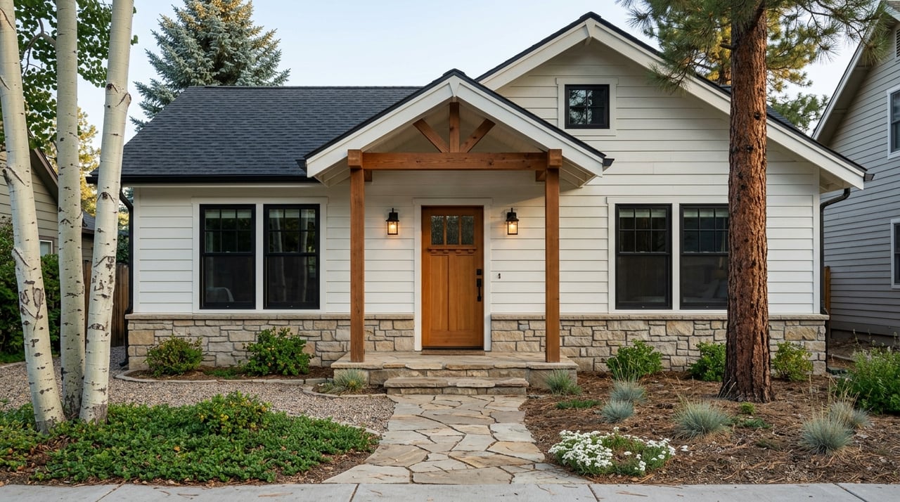
If your ideal day includes walking to services, being close to civic anchors, and having a more connected town feel, Buena Vista’s central areas may be the better fit. The town’s Unified Development Code says the Old Town Overlay exists to preserve a compact, walkable, mixed-use downtown core and keep more residents within walking distance of services.
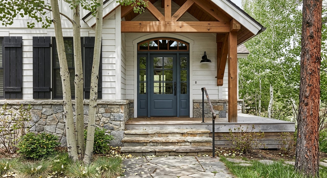
That convenience is especially visible along East Main. Town Hall is located at 210 East Main, the Community Center at 715 East Main, and River Park at 800 E Main, creating one of the clearest convenience-oriented corridors in Buena Vista according to the town’s civic location information and historic preservation resources.
Historic East Main and the Old Town Overlay can be a strong fit if you want classic downtown character and short trips to core amenities. But buyers should know that the Old Town Overlay is a zoning district, not just a casual neighborhood label. The town’s planning materials note that the overlay is distinct from the broader geographic idea of Old Town, so it is smart to verify whether a home is actually inside the overlay before assuming design review or historic guidelines apply.
There is a tradeoff here, too. The comprehensive plan describes Highway 24, East Main, and West Main as the community’s commercial and social hub, and it identifies those corridors as priorities for safer crossings, sidewalks, and bike and pedestrian improvements. If you value being close to the center of activity, that can be a positive. If you prefer a quieter feel, it is worth paying attention to exactly where a home sits relative to those central streets.
South Main stands apart from the historic core. In the town’s 2025 comprehensive plan, it is described as Buena Vista’s only existing New Urbanist neighborhood, designed around residences, commercial uses, civic areas, a connected street network, and pedestrian-oriented development.
For many buyers, that makes South Main one of the most natural places to look if you want both walkability and river adjacency. It is tied closely to the Whitewater Park area and connected trail network, while also offering a more intentionally planned pedestrian layout than a typical low-density subdivision.
This does not guarantee every home will check every box. But if your wish list includes easy access to trails, a connected neighborhood feel, and proximity to the river, South Main often belongs near the top of your search.
West Main can appeal to buyers who want in-town access and see value in a corridor that is still evolving. The comprehensive plan notes that West Main needs bike-lane modifications, sidewalk improvements, crosswalk upgrades, and traffic calming, which suggests a more transitional experience than the most polished downtown blocks.
That does not make it a lesser option. It simply means your decision should match your priorities. If convenience matters more than immediate quiet, or if you are open to an area that may feel a bit more in motion, West Main may be worth a closer look.
If mountain views sit at the top of your list, your search may naturally drift toward Buena Vista’s outer residential edges and southwest areas rather than the most central blocks. Buena Vista Recreation’s trail descriptions repeatedly highlight Collegiate Peaks views along Barbara Whipple Trail, Whipple Main Route, Peaks View Trail, and Zebulon-Pike Trail.
That pattern is useful because it shows how views-first living often overlaps with recreation corridors and edge areas. The Rodeo Road Trail also serves several subdivisions southwest of Buena Vista, while Peaks View Trail runs along fields and horse pastures with wide mountain views. For buyers who want a little more separation or a less urban feel, those outward areas often deserve attention.
This is where your real tradeoff becomes clear. The homes with the strongest open-sky or mountain-facing feel are often not the same homes with the easiest walk to downtown services. You may be able to find overlap in some areas, but in Buena Vista the most view-oriented settings are often farther from the compact core.
Before you assume a home is fully “in town,” confirm whether it is actually within Buena Vista town limits. The town notes on its code enforcement page that some Buena Vista addresses are under Chaffee County jurisdiction instead of the town.
That detail can affect how you evaluate a property’s regulatory context. It is one more reason to go beyond the mailing address and confirm the exact location, maps, and governing jurisdiction before you make a decision.
If you are weighing Buena Vista home options, this simple filter can help:
Here is a practical way to think about the tradeoffs:
| Priority | Areas to Explore | Main Tradeoff |
|---|---|---|
| River access | River corridor, South Main, River Park area | Floodplain, zoning, and parcel access need close review |
| Walkability | East Main, historic core, Old Town Overlay areas | More activity near central corridors |
| Views | Outer edges, southwest areas, recreation corridors | Usually less central to downtown services |
| Mixed lifestyle goals | South Main, parts of East Main | You may still need to compromise on lot feel or activity level |
In many cases, the best choice is not the property with the longest feature list. It is the one that matches how you want to live most days.
If you want help narrowing down which part of Buena Vista best fits your goals, Julie Kersting can help you compare river access, views, walkability, and parcel details with the kind of local context that makes your decision clearer.
Ready to take the plunge into a mountain property? Maybe a house right in town is up your alley? Contact Julie today, she is passionate about making sure you find just the home of your dreams.
JULIE KERSTING
306 E Main St, PO Box 1105 Buena Vista CO 81211