Guide to the Chaffee County Ranch and Acreage Market
February 19, 2026
February 19, 2026
If you have your eye on land around Salida’s 81201 ZIP, you have likely noticed a big spread in asking prices. One 10-acre parcel can list near town for a premium while a larger tract farther out might be a fraction of the price per acre. The difference usually comes down to water, access, and permitted uses. In this guide, you’ll learn how the Chaffee County ranch and acreage market works, what really drives value, and how to read listings with confidence. Let’s dive in.
The Salida area shows a wide range of listings at any given time. A county snapshot from listing aggregators like the LandSearch county snapshot often shows an average listing price around $568,000 and an average price per acre reported in the tens of thousands. Treat these as asking-price indicators, not closed-sale data.
Here are the main factors that move the needle on price:
Remember, listing-site numbers reflect what sellers are asking. Sold-price medians and trend lines come from MLS and county records, which are the right source if you need transaction-based statistics. The big takeaway is simple. Water, access, and location usually explain the largest price gaps you see online.
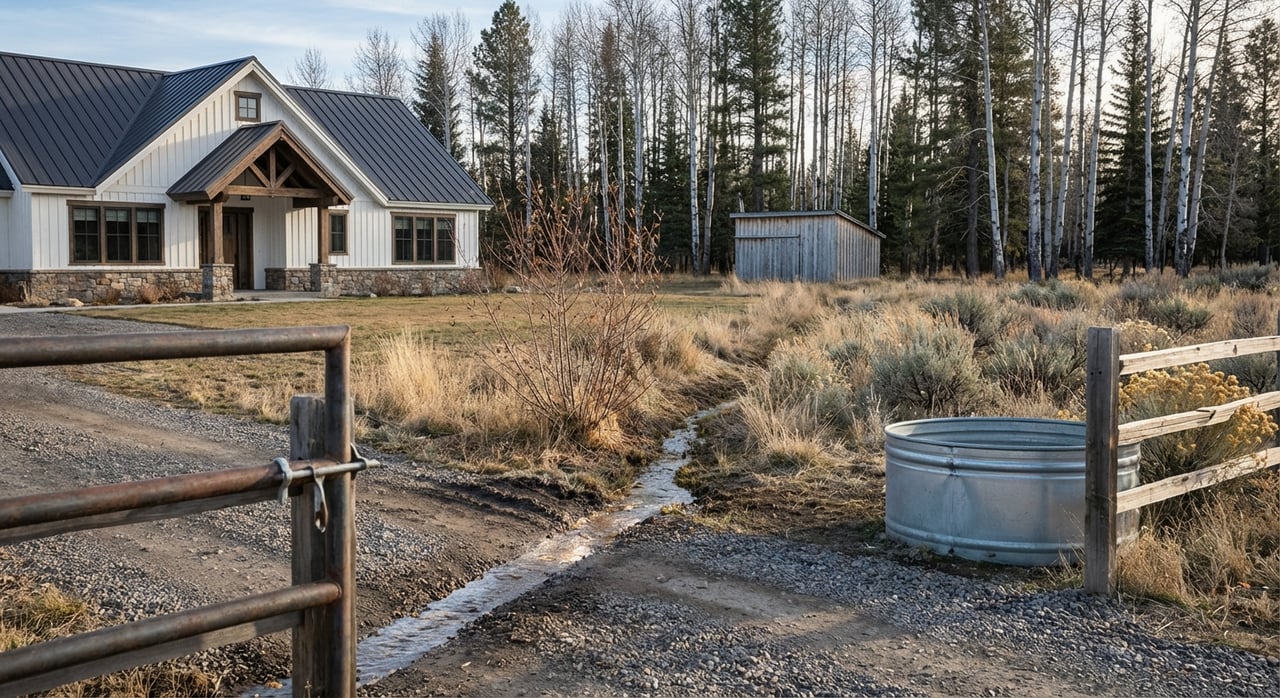
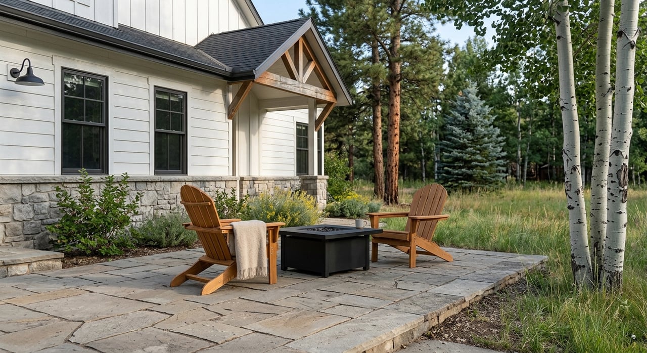
These small acreage tracts sit near town and appeal to buyers who want views, elbow room, and convenience. Value centers on buildability, well or municipal water reliability, and drive time to services. Many of these parcels are not set up for production-scale agriculture, so the emphasis is lifestyle rather than income.
Twenty to several hundred acres with ditch shares, senior decrees, and irrigation infrastructure can produce hay and support grazing leases. The presence and priority of water rights, along with working headgates or pivots, often justifies much higher per-acre pricing. These properties require more technical due diligence on water records and delivery systems.
Hundreds to thousands of acres in the foothills and high country trade more on open space, views, recreation, and grazing capacity than on crop production. Access, winter plowing, and road-maintenance agreements are critical. Per-acre pricing varies widely with location, amenities, and seasonal access.
Colorado water law is based on prior appropriation. Senior rights take precedence. In the Arkansas Basin, state officials have increased enforcement around undecreed ponds that can impact the river system. If you are looking at land with a pond, well, or irrigation, plan to verify records and augmentation status. For background on current enforcement, see this overview of pond management in the basin from Water Desk.
In Chaffee County, the Upper Arkansas Water Conservancy District (UAWCD) provides augmentation and replacement water that supports many domestic wells, ponds, and small irrigation uses. Whether a property lies inside the District’s service area and how many augmentation units it needs can affect both feasibility and cost. Explore the District’s program details on UAWCD augmentation services.
Every new well in Colorado must be permitted by the State, and well logs and pump test data are key documents during due diligence. The Colorado Groundwater Atlas is a helpful resource for understanding local groundwater context.
Here is a short buyer checklist for water:
Chaffee County adopted a new Land Use Code and zoning map effective January 1, 2025. Before you assume a property’s development potential, look up parcel zoning, floodplain, steep slopes, and wildfire risk layers in county resources. Start here: Chaffee County Planning and Zoning — Land Use Code.
Colorado assesses qualified agricultural land based on productive capacity rather than pure market value for development. If a property has been used as a working ranch and meets statutory use tests for multiple years, it may carry agricultural classification for assessment. Buyers should verify the current classification with the assessor and consider potential rollback risk if they take land out of ag use or subdivide. The state’s valuation approach is outlined in the Colorado Real Property Valuation Manual.
If you are underwriting an income-producing ranch, ask for hay tonnage per irrigated acre, grazing lease terms, irrigation system condition, and fencing or corral status. Production history and reliable water delivery are central to value. Conservation easements can reduce development upside yet help preserve working-ranch character. An example of local conservation outcomes is the Hutchinson Ranch, documented by the Colorado Cattlemen’s Agricultural Land Trust.
When you see a property you like, scan these fields and ask for documents right away:
A simple way to compare two listings:
Financing for acreage and ranches often differs from a standard home loan. Many buyers use lenders familiar with agricultural valuations or rural properties. Pre-approval is still important, but plan for underwriting that considers water rights, well performance, and conservation or easement constraints.
Expect a longer due-diligence timeline than a typical residential purchase. Water-rights verification, well testing, title review for easements and minerals, and surveys or ALTA work can add time. If an augmentation plan or a water-right transfer is required, legal and engineering steps tied to programs like UAWCD augmentation services can extend the schedule.
If you are evaluating ranches or acreage around Salida and the Arkansas River Valley, you deserve local insight on water, zoning, access, and value. A careful read of the county code and a tight due-diligence plan will save you time and reduce surprises. When you are ready to walk properties, compare options, and line up the right experts, connect with Julie Kersting for trusted, high-touch guidance.


Ready to take the plunge into a mountain property? Maybe a house right in town is up your alley? Contact Julie today, she is passionate about making sure you find just the home of your dreams.
JULIE KERSTING
306 E Main St, PO Box 1105 Buena Vista CO 81211